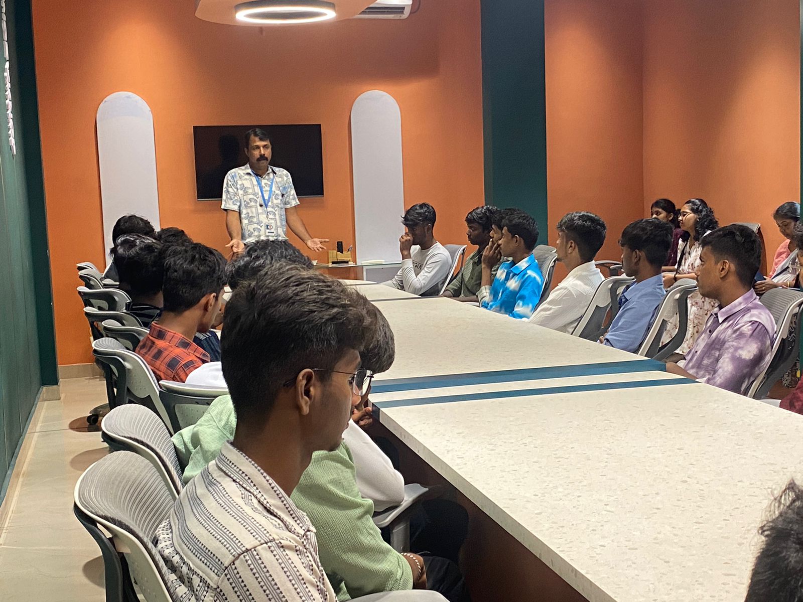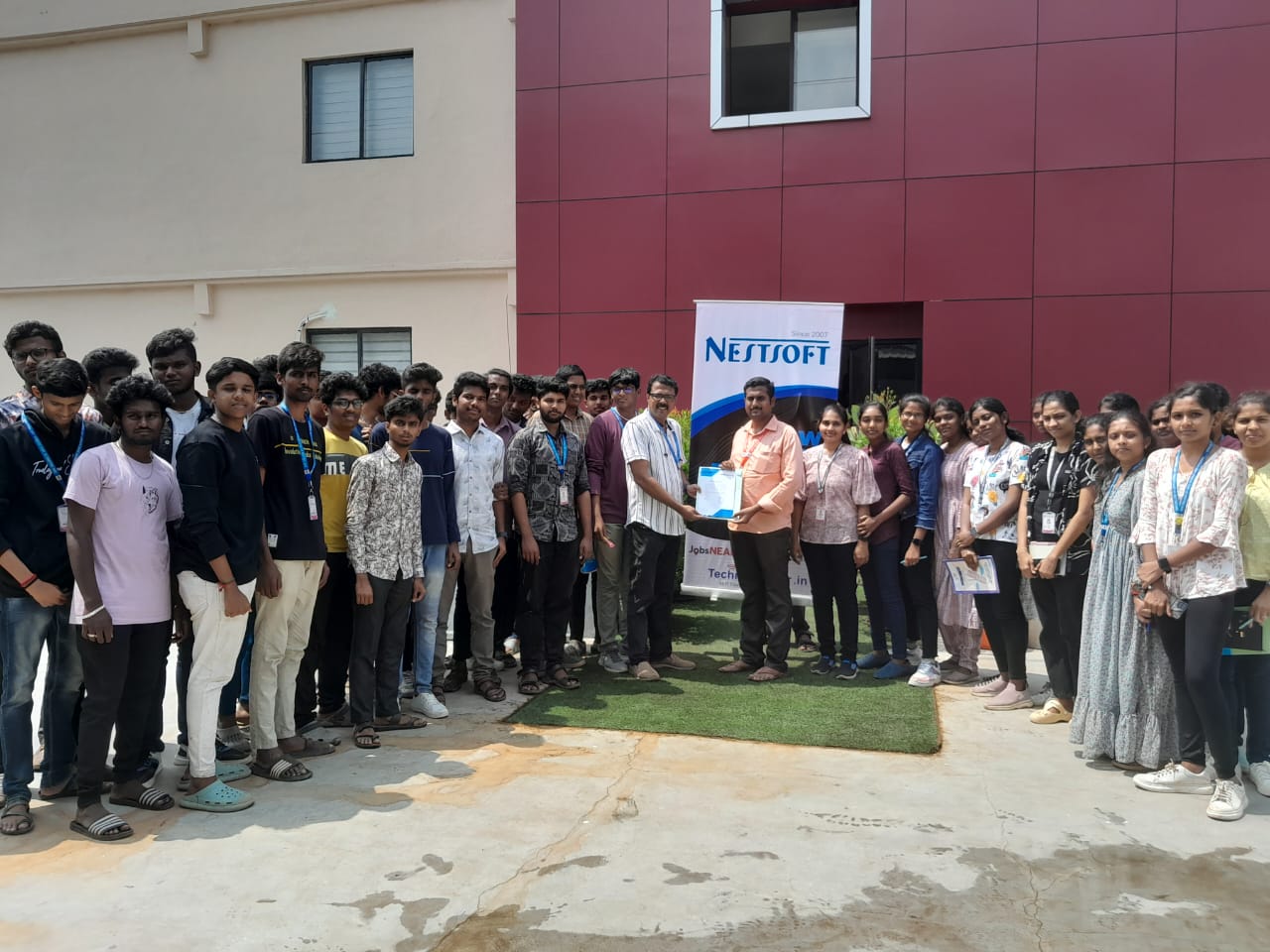
HTML 5 Training by Experts
Our Training Process

HTML 5 - Syllabus, Fees & Duration
HTML - Introduction
- Web Development Introduction
- History of HTML
- HTML Tags and Attributes
- HTML Tag vs. Element
Basic Formatting Tags
- HTML Basic Tags
- HTML Head Tag
- HTML Meta Tag
- HTML Formatting Tags
- HTML Color Coding
Lists
- Unordered Lists
- Ordered Lists
- Definition list
Images
- Image and Image Mapping
Hyperlink
- URL - Uniform Resource Locator
- URL Encoding
HTML-Table
HTML-Headers
- Title
- Base
- Link
- Styles
- Script
- Meta
HTML5 forms
- Introduction to HTML5 forms
- Accessible forms
- New Input types
- New forms attributes
- Form validation
Graphics
- Basics of HTML5 canvas
- Immediate drawing mode: rectangles, text, images, etc.
- Path drawing mode: lines, circles, arcs, curves, etc.
- Colors, gradients, patterns, shadows, etc.
- Working with SVG in HTML5
HTML5 animations
- Basic animation techniques
- Canvas and user interaction
- Working with pixels
- Understanding transforms
API
- Introduction to HTML5 APIs
- The Web Storage API
- Form validation API
- The File API
- The Geolocation API
This syllabus is not final and can be customized as per needs/updates
- Since 2001, Making IT Experts by Experts
- Duration: 5 Hours (Vary as per your skill)
- Course Fees
- Individual Live Classes (1:1)
- Batch Classes @ Low Fees
- Training on Your Time, Any Where
- Access to Recorded Videos
- Practical Internship on Projects
- 100% Placement Support by our jobsNEAR.in
- Training/Internship Certificate
- Web Development Courses in Mumbai
- Mobile App Develpment Courses in Mumbai
- Website Design Courses in Mumbai
- Networking and Security Courses in Mumbai
- Digital Marketing (SEO) Courses in Mumbai
- Graphics Training Courses in Mumbai
- Cloud Computing Courses in Mumbai
- Mean Stack Development Courses in Mumbai
- Python Full Packages Courses in Mumbai
- Animation & Video Editing Courses in Mumbai
- Mern Stack Development Courses in Mumbai
Course Highlights

Featured Courses


 Actually, HTML may be a major needed factor of webpage creation in order that you wouldn’t be able to organize text or add images or videos to your web content without HTML. to make refined and correct websites and web systems that operate across devices, operating systems, and internet browsers, businesses that develop and deploy web content, and internet applications are one of the benefits of html5. Most websites are written in HTML. throughout this, you can learn all the HTML5 options which will facilitate producing nice websites and applications in a simplified and powerful manner. we designed this course for anyone who needs to be passionate to learn hypertext markup language to make websites. the standard of HTML5 is to fulfill the increasing demands given by today’s rich media, cross-device and mobile web access needs. you'll be able to save significantly on your web site development value because it does not want any software for HTML, no plug-ins are required also HTML web site is best to browse and access for search engine crawlers. This practical training course on HTML 5 from certified and experienced professionals of the industry can modify you to boost your career as a front-end developer meeting all real-world necessities. HTML web site for browser compatibility is neither tough nor complicated. the most recent web browsers on PCs and tablets are already supported by HTML5 .